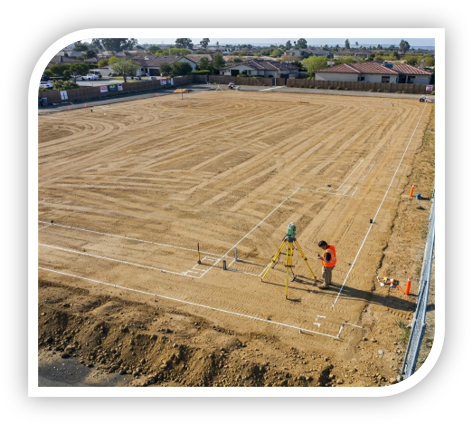
At Magna Consulting & Design, we deliver precise surveying and GIS solutions by combining traditional field methods with cutting-edge technology. Our experienced team supports everything from data capture and mapping to integration and analysis, delivering scalable solutions for projects of any size. Whether enhancing an existing GIS system or building from scratch, we help clients make smarter, data-driven decisions.
Surveying
Our surveying and GIS services include:
Geospatial Mapping Solutions
GIS database development and enterprise GIS solutions
Mapping and visualization tools
Web map applications
AutoCAD and drafting integration
Field data collection and mobile workflows
Data Integration & Analysis
Real-time data collection and monitoring
Programming and software integration
Actionable data display (dashboards, visual reports)
Data analysis (3D, spatial, statistical, lidar, imagery)