
Environmental Engineering
Environmental Engineering
Our environmental engineering services include:
- Boundary, topographic, and ALTA/NSPS land surveys
-
Utility and as-built surveys
-
Construction staking and layout
-
Transmission and substation site surveying
-
GPS-based field data collection
-
Drone (UAS) aerial mapping and high-resolution imagery
-
Mobile GIS support and field workflows
-
GIS database development and geodatabase management
-
Enterprise GIS implementation and system optimization
-
Asset mapping and facility inventory
-
Web map applications and dashboard development
-
AutoCAD and drafting integration with GIS platforms
-
LiDAR data processing and 3D terrain modeling
-
Spatial, statistical, and imagery analysis
-
Real-time data collection and geospatial monitoring
-
Environmental and permitting support mapping
-
Data conversion and legacy system integration
-
Custom GIS visualizations and reporting tools
Environmental Engineering
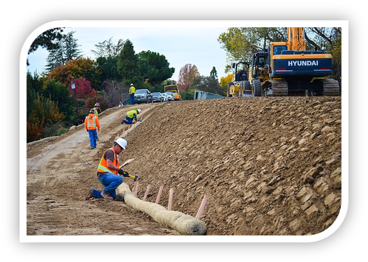
At Magna Consulting & Design, we provide accurate and reliable surveying and GIS services to support utilities, infrastructure developers, and municipalities. Our team integrates traditional surveying methods with modern geospatial technology to deliver topographic, boundary, ALTA/NSPS, and utility surveys that meet the demands of planning, design, and construction.
We offer GIS services that include spatial data acquisition, asset mapping, geodatabase development, as-built integration, and system optimization. Whether enhancing an existing GIS or building from the ground up, we help clients streamline workflows, visualize infrastructure, and make data-driven decisions.
Additional capabilities include mobile GIS support, GPS-based field data collection, and drone mapping for high-resolution imagery. From substation sites to transmission corridors, our surveying and GIS solutions are built for accuracy, scalability, and long-term performance.

